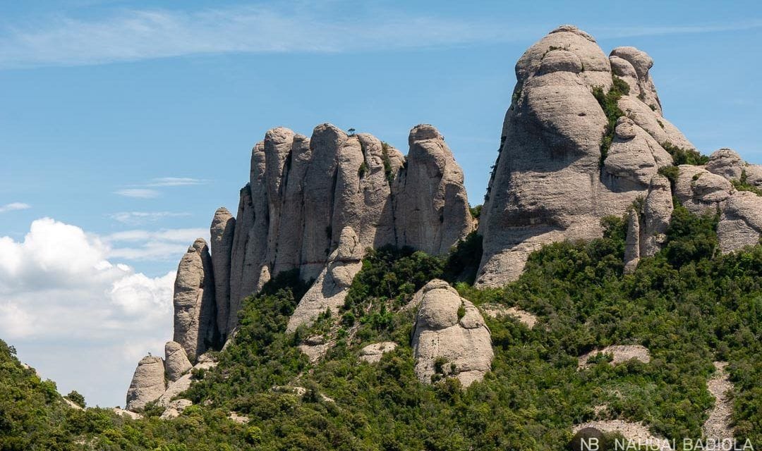
Find out how to hike the circular route from the Montserrat monastery up to Sant Jeroni peak, the highest viewpoint in the massif.
Technical details
- Difficulty: Moderate.
- Distance: 7 km (approx).
- Elevation gain: 525 m.
- Hiking time: 2 h 45 min (approx.)
- Start: Pla de les Taràntules (Sant Joan funicular upper station).
- End: Montserrat Monastery.
- Date hiked (photos taken): June, 2018.
Detailed trail guide
Sant Joan Funicular
Once you arrive at the Montserrat Monastery, head to the base of the funicular and buy a one-way ticket (€8.45).
If you want to snap some photos on the way up, grab a spot in the lower carriage. But don't worry, you'll get even better, clearer views of the monastery along the hiking trail itself.
Pla de les Taràntules
Right as you exit the funicular's upper station (located at Pla de les Taràntules), take the path on your right following the signs to Sant Jeroni.
Keep an eye on the signs and the map at the bottom of the page and you can't get lost (just follow the yellow line).
Other alternative routes branch off from this exact spot, like the one heading to the chapels of Sant Joan, Sant Onofre, and Santa Magdalena. Or the alternative walking path to the funicular that passes by the Sant Miquel chapel and viewpoint cross of the same name.
Strolling among rock needles
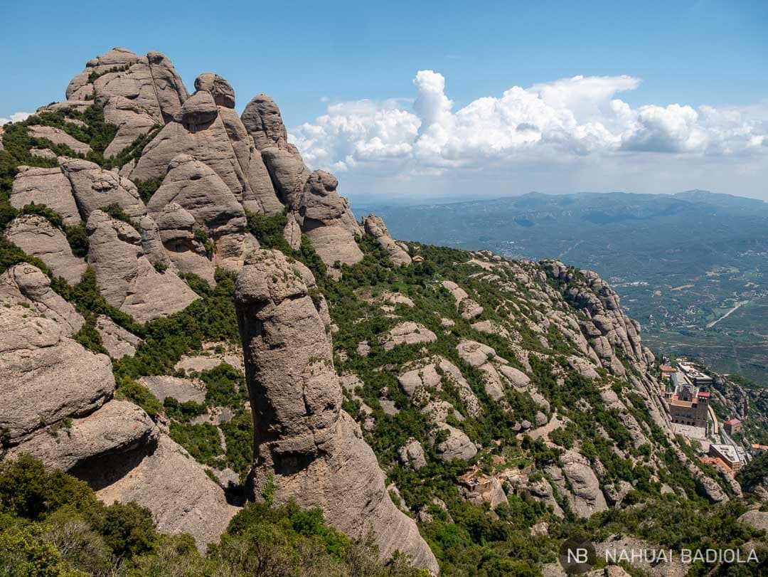
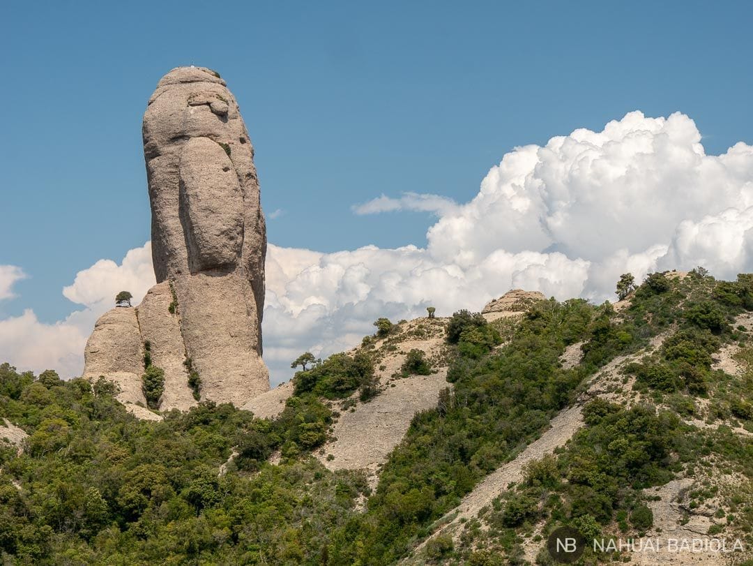
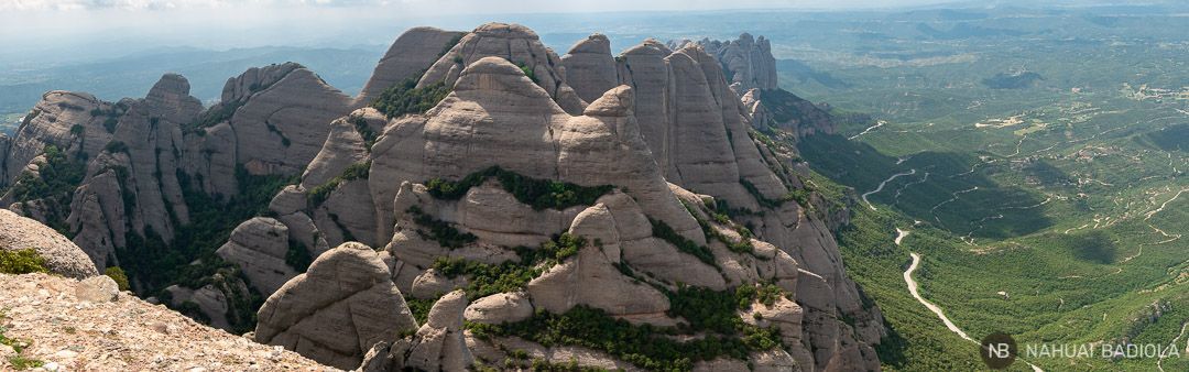
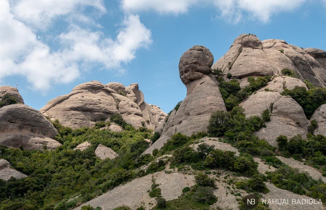
Just a few minutes into the trail, you'll spot rock needles to your right known as La Prenyada, L’Elefant, and La Mòmia, among others.
Remember to look back down, because this is where you'll get some of the best panoramic views over the Montserrat Monastery.
The trail continues in the open all the way to the base of Gorra Frígia. You'll recognize it by the cross sitting right at its peak. Look closely and you might even spot climbers tackling its summit or the neighbouring peaks.

After squeezing between some rocks, you'll reach the first viewpoint along the trail:
Mirador de la Serra de les Paparres
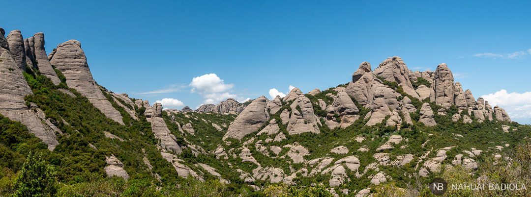
This open plateau offers spectacular views looking southwest across the massif.

There's no shade from the sun here, so in the middle of June, it was impossible to stay for lunch and soak in the views as long as they deserved. But if you visit in autumn, spring, or a mild winter, it's bound to be the perfect spot for an outdoor picnic break (though without the table, of course!). 😉
Walking through the trees
From this point on, you'll hike along a trail sheltered by tree shade. The views of the mountain packed with rocky cliffs and stone needles feel straight out of an Art Nouveau fairy tale. Seriously, they do.
Right after crossing a small wooden bridge over the Santa Maria creek (in summer, you'll need a bit of imagination to see any actual water flowing), you'll come to the junction with the turnoff to Pla dels Ocells, which you'll take on the way back.
For now, keep heading up the paved path to the right towards the Sant Jeroni chapel.
Sant Jeroni Chapel and Peak
After walking through a small wooded area, you'll reach the Sant Jeroni chapel, which, from what I could see, is currently used for storing fire prevention and firefighting gear.

To your left, you'll see a steep path heading up towards the viewpoint. Take a deep breath and gear up, because the best part is coming right up.
When you reach the first viewpoint below Sant Jeroni, you might find yourself wishing it was the end of the trail. But the staircase leading all the way to the summit keeps going! Keep in mind you need to reach an altitude of 1,236 m.
There's a handrail you can hold onto the whole way up, so even anyone with a fear of heights can make it to the top without trouble (yep, we had one and a half of those in my family group!). 🙂
Take as many breathers as you need. You can even sit down on the side of the stairs if you like. But make sure you push through to the top of Sant Jeroni—it's totally worth it.
Return: Pla dels Ocells
Retrace your steps back to the junction you came across at the start of the paved path.
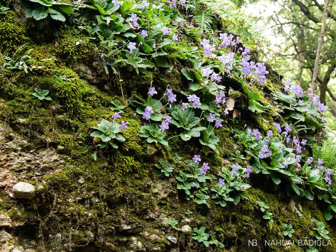
There, take the detour that zigzags down in the shade of the trees towards Pla dels Ocells. You'll see that the dirt trail continues downhill, shielded from the sun thanks to the local vegetation.
When you reach the next fork, choose the route heading towards the Monastery and stick to that direction from then on.
Paso de los Franceses
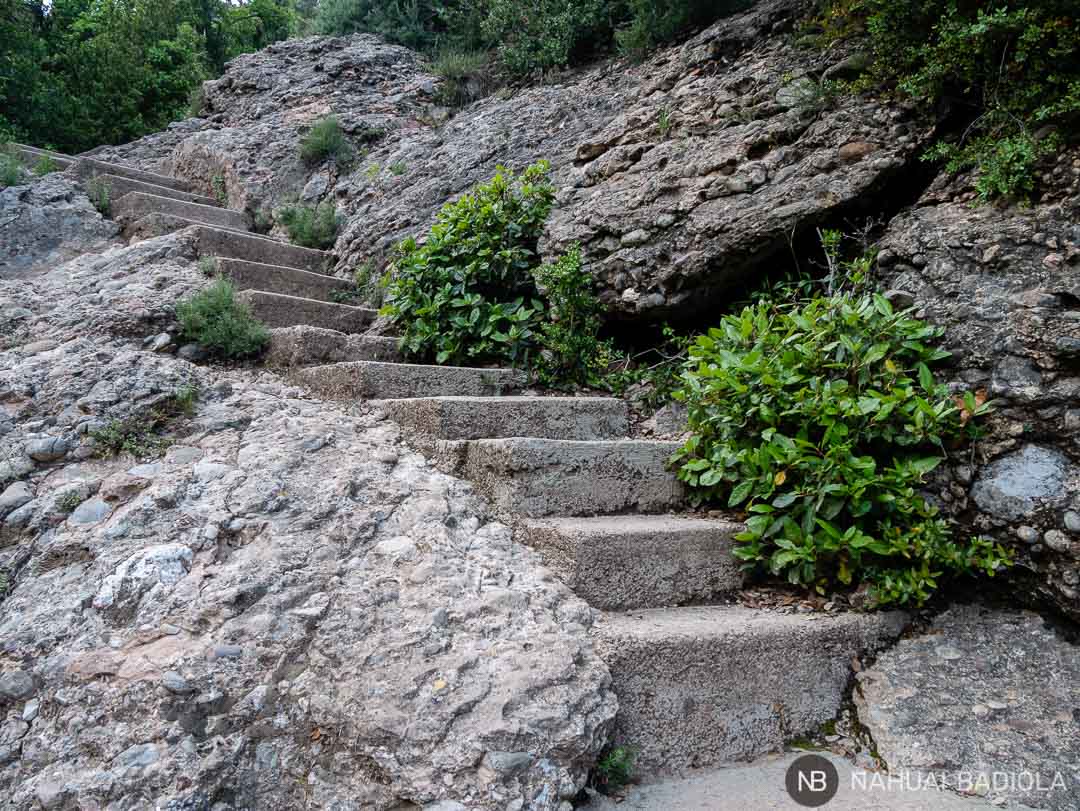
Shortly after, you'll hit the almost never-ending stairs (an exaggeration, I know, I'm from the south, but still…) winding down to the Montserrat Monastery, passing through the famous Paso de los Franceses.
They are long and plentiful (in case the "almost never-ending" part didn't make that clear), so arm yourself with some patience. 🙂
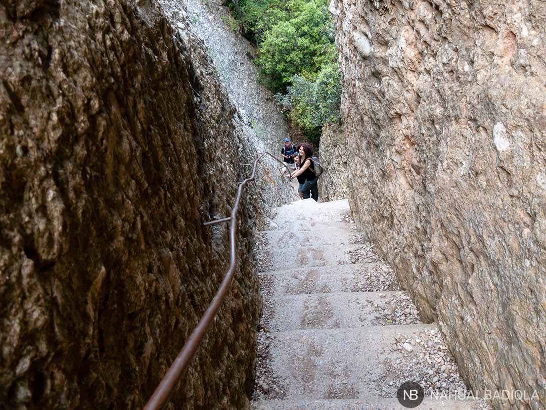
For a stretch, they run alongside the Santa María stream, which must look gorgeous during the rainy season (I'll definitely be back).
Once they end, you'll reach a public fountain on Montserrat's main street that will taste like heaven, plus a map showing you just completed route number 1.
Got knee problems? Think twice before hiking down this way.
Alternatives
The trail connecting both ends of the funicular and passing by the Sant Miquel hermitage is actually the service road you should use when the funicular is closed.
Therefore, you can do the entire route on foot if you skip the funicular and take this road uphill (the blue line on the map at the end of this post).
You can also head back to the funicular's top station if, instead of heading down to Pla dels Ocells, you retrace your steps after visiting Sant Jeroni (highly recommended for sensitive knees). If that's your plan, grab a round-trip ticket to save some cash (€13).
The funicular schedule changes depending on the season and is closed for most of the winter. You can check the official 2018 frequency and opening hours here.
What to bring
- Plenty of water (have you heard of filtered reusable bottles?) and something to eat (nuts, a sandwich, a piece of fruit…).
- Hiking boots or, alternatively, sneakers with good support and grip.
- A long-sleeved shirt or a windbreaker. In Montserrat, the temperature drops by 3 to 5 degrees Celsius compared to the towns at the foot of the mountain, and wind gusts at Sant Jeroni can be pretty fierce.
- Sun protection: sunscreen, a hat, sunglasses…
Remember to leave no trace. Please pack out all the trash you produce and drop it into the appropriate bin once you're back at the monastery street. Helping to keep Montserrat—and any other mountain—as clean and pristine as you found it is just that simple. Thank you.
Where to sleep
Living close to Montserrat, I'm lucky enough to be able to do day trips and head back home at the end of the day.
Are you traveling?
Useful links
- Sant Joan funicular timetables and prices.
- Official website for hiking in the Montserrat massif.
- 5% discount when booking your adventure travel insurance with IATI.
- Flights to Catalonia: Trabber, eDreams, Momondo, and Vueling.
- Hotel deals around Montserrat.
More treks in Montserrat and other destinations in Catalonia:
- Montserrat trail: funicular-Santa Magdalena-Sant Miquel-monastery.
- Salt del Sallent circular route.
- Hiking trail in Alta Garrotxa: Beget-Rocabruna.
- Challenge your perspective at the Dalí Theatre-Museum in Figueres.
Would you like me to cover any other hiking route in Montserrat? Let me know which one you're interested in down in the comments, and if I haven't done it yet, I'll hike it to share all the details with you!
Thank you for such a beautiful route and explanation. To go down the endless stairs without missing a thing, there's a very simple trick—it might look ridiculous, but my knees are mine and I love them dearly, especially as the years go by! The trick is to walk down backwards. Best regards to Celi and company.
Hi, Gabriel! Thanks so much for your comment and for your trick of walking down the stairs backwards. I'll definitely give it a try next time I get the chance! 🙂
A big hug!
Thank you so much for these directions, they make the route so much easier to tackle.
Alberto
You're very welcome, Alberto! I'm glad you find it helpful.
Thanks a lot for your comment, and enjoy the hike! 🙂